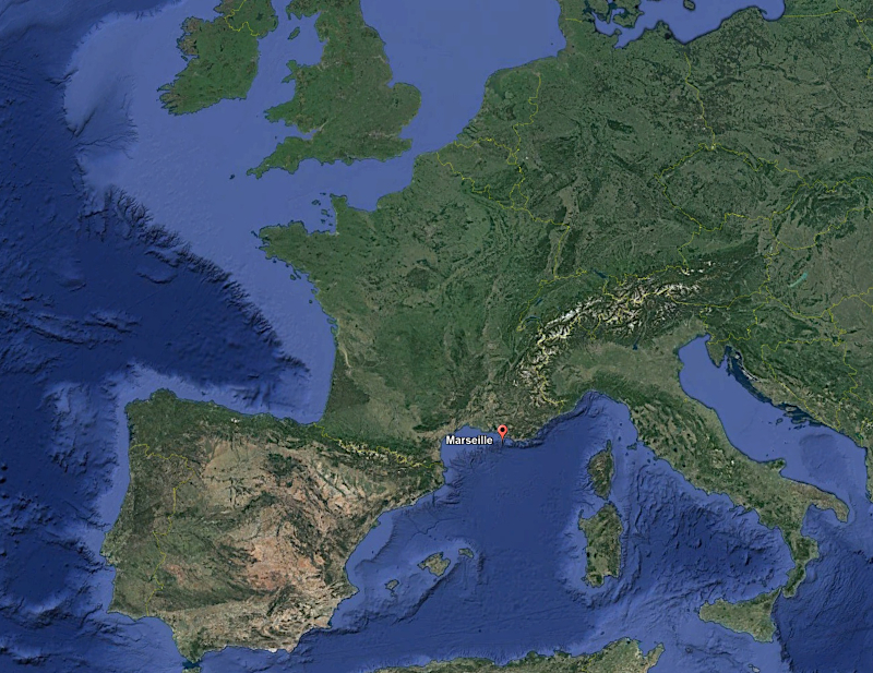
The image acquisition station is located in Marseille (south of France) :
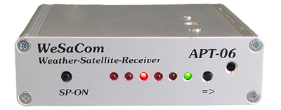
The receiver used is the APT-06 model from WRAASE Electronix, a company based in Germany. The device is entirely controlled by the software used to decode the signals transmitted by the satellite, which changes the receiver frequency according to the satellite being acquired.
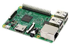
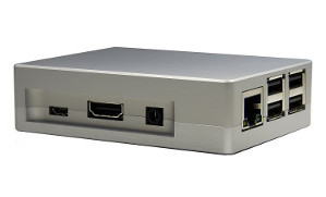
The computer used to decode the images is a Raspberry PI model 3B+, which consumes very little energy and can therefore operate 24 hours a day.
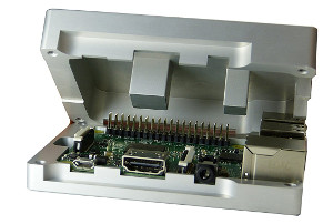
The Raspberry PI is encapsulated in an aluminium case that dissipates heat without the need for a fan. The case is made up of two cast parts. The upper part has columns that rest on the chips, which generate heat to dissipate it.
This box therefore reduces energy consumption while eliminating the maintenance work inherent in the mechanical ventilation of a computer system.
The Raspberry PI is equipped with a chip that enables sound to be reproduced via a 3.5 mm jack or HDMI socket. However, it lacks the sound acquisition module needed to decode the signal transmitted by the satellites. That’s why you need an external sound card that connects to your computer via a USB port.
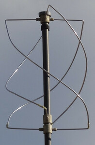
The radio receiver is connected to a QFH (Quadri Filar Helix) antenna, which ensures that the satellite signal is not lost during the acquisition process, which can take up to twenty minutes. The plans and construction protocol are available in the “Antennas” section of the website.
The operating system used is Linux, which is free, open-source and has the advantage of using very few processor resources and therefore consuming less energy than other operating systems.
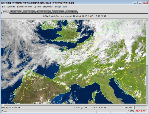
The multi-platform software used to decode the signals transmitted by the satellites is WXtoIMG, developed by Craig Anderson from New Zealand. It creates colour images using computer algorithms that combine the visible and infrared channels of the images transmitted.
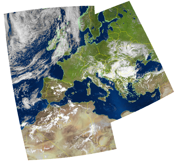
WXtoIMG can also be used to assemble images acquired during several passes by the same satellite to produce an image covering a larger area of the planet.